Adventure: Mooloolah River National Park, Sippy Downs (5kms)
An inviting wetlands park – which even many locals may not be aware of, running right in between Sippy Downs and Brightwater – provides the perfect place to view coastal plants and animals.
An inviting wetlands park – which even many locals may not be aware of, running right in between Sippy Downs and Brightwater – provides the perfect place to view coastal plants and animals.
Suitability
Suitable for walkers and runners, especially bird and nature lovers. Dogs are not permitted.
Highlights
There are four trails through the park, though note - none take you to the Mooloolah River.
The mapped 5km route follows three trails: Boronia, Aemula (banksia) and Littoralis (she-oak) Trails.
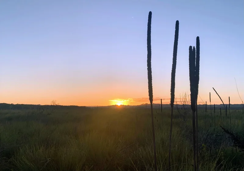
This is a half out and back and half circuit loop with interesting glimpses toward the coast and the river wetlands.
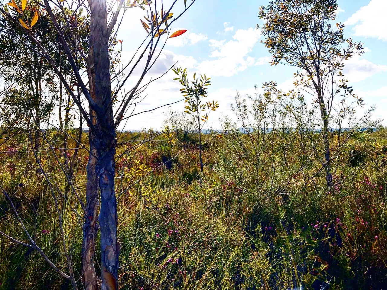
This trail is an excellent example of the wet heath coastal habitat. During flower season it is a walk not to be missed. You’ll get to see yellow banksia flowers and bush peas and if you are super observant well-camouflaged rainbow bee-eaters with intense green, orange and black features. You should also get to see and smell the fragrant boronia shrub.
There is a fifth trail (Trail 5) (accessible close to the Motorway) that is a sealed path suitable for recreational cyclists, wheelchairs and prams that follows the northern boundary. This sealed trail is the only one that provides cycle access in this national park.
This park is best visited early morning or late afternoon when wildlife is most active.


Afterwards
Head to Brightwater where there is a great hotel plus wonderful parks (BBQ areas) and pathways around the canals.
How to get there
Take the Sunshine Coast University exit off the Sunshine Coast motorway. Coming from the M1 the overpass (Dixon Road) will take you directly onto Claymore Road. Coming from the Coast after you exit turn left into Sippy Downs Drive and left again at the roundabout and at the T Junction turn right into Claymore Road. Follow this road until after the parkland on your left, take the first turn on your left, which is a continuation of Claymore Road. The walk starts at the end of the bitumen road where there is park signage.
Trail

For more than 250 walking, running, paddling, cycling, mountain-biking and horse-riding trails on the Sunshine Coast #chooseyournextadventure with Adventure Sunshine Coast https://adventure.sunshinecoast.qld.gov.au/
NB – For those who have a four-legged friend they wish to take on their adventures – be sure to check out council’s handy interactive off leash dog map to help identify the current dog off-leash, on-leash and prohibited areas when you’re out and about across the Sunshine Coast local government region: https://pets.sunshinecoast.qld.gov.au/


