Adventure: Conondale National Park – Booloumba Falls walk
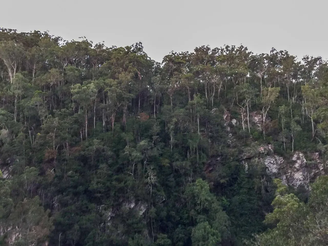
A truly memorable 3km adventure, set in the rugged Conondale Range, featuring eucalypt forests, clear waterfalls, boulder-strewn creeks and a variety of wonderful wildlife.
For an unforgettable experience, why not head to the hinterland for the day and walk to the stunning clear Booloumba Falls - one of the highlights of the Conondale Range Great Walk?
Suitability
This walk is 3 km return and is suitable for walkers with some experience. Dogs are not permitted in this national park.
Highlights
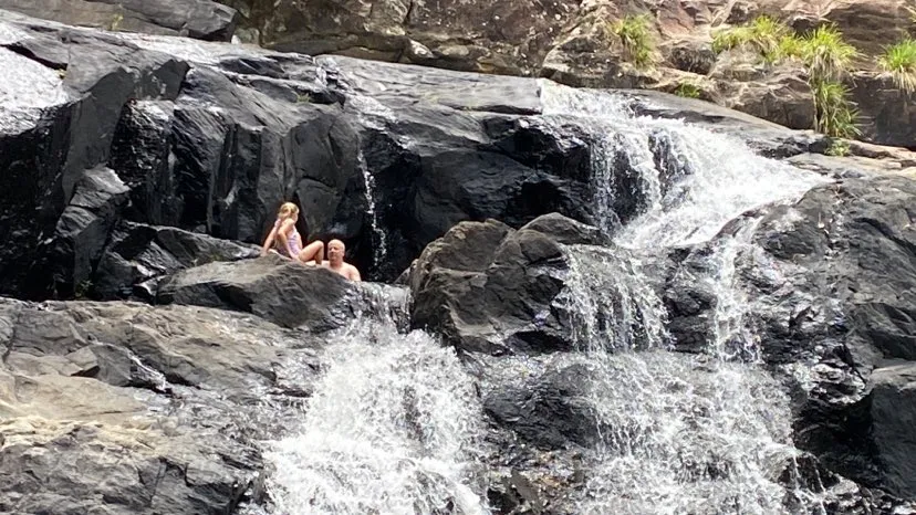
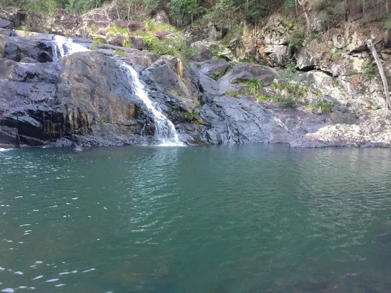
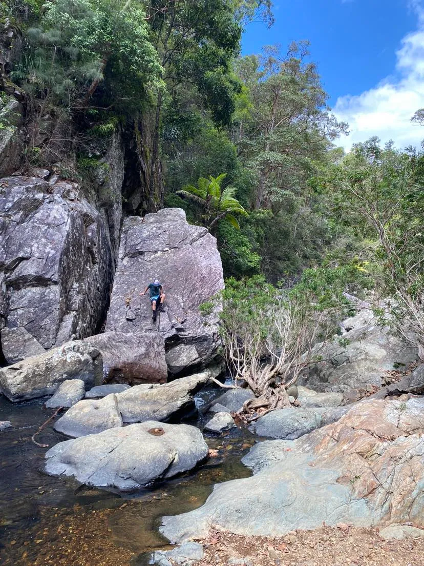
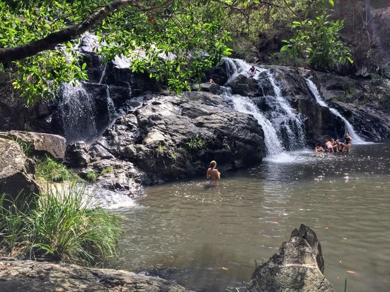
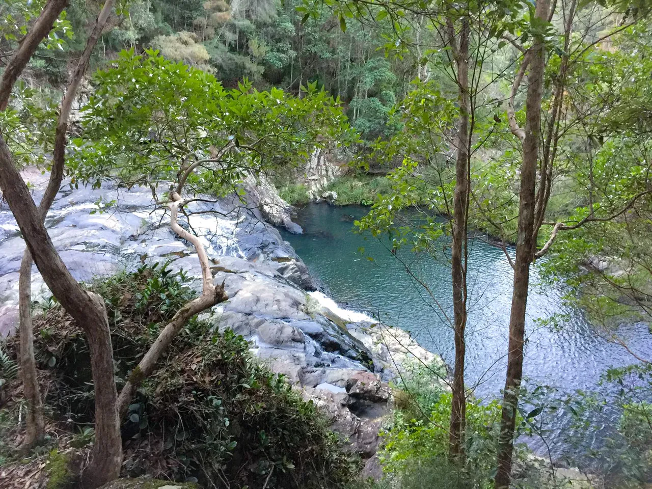
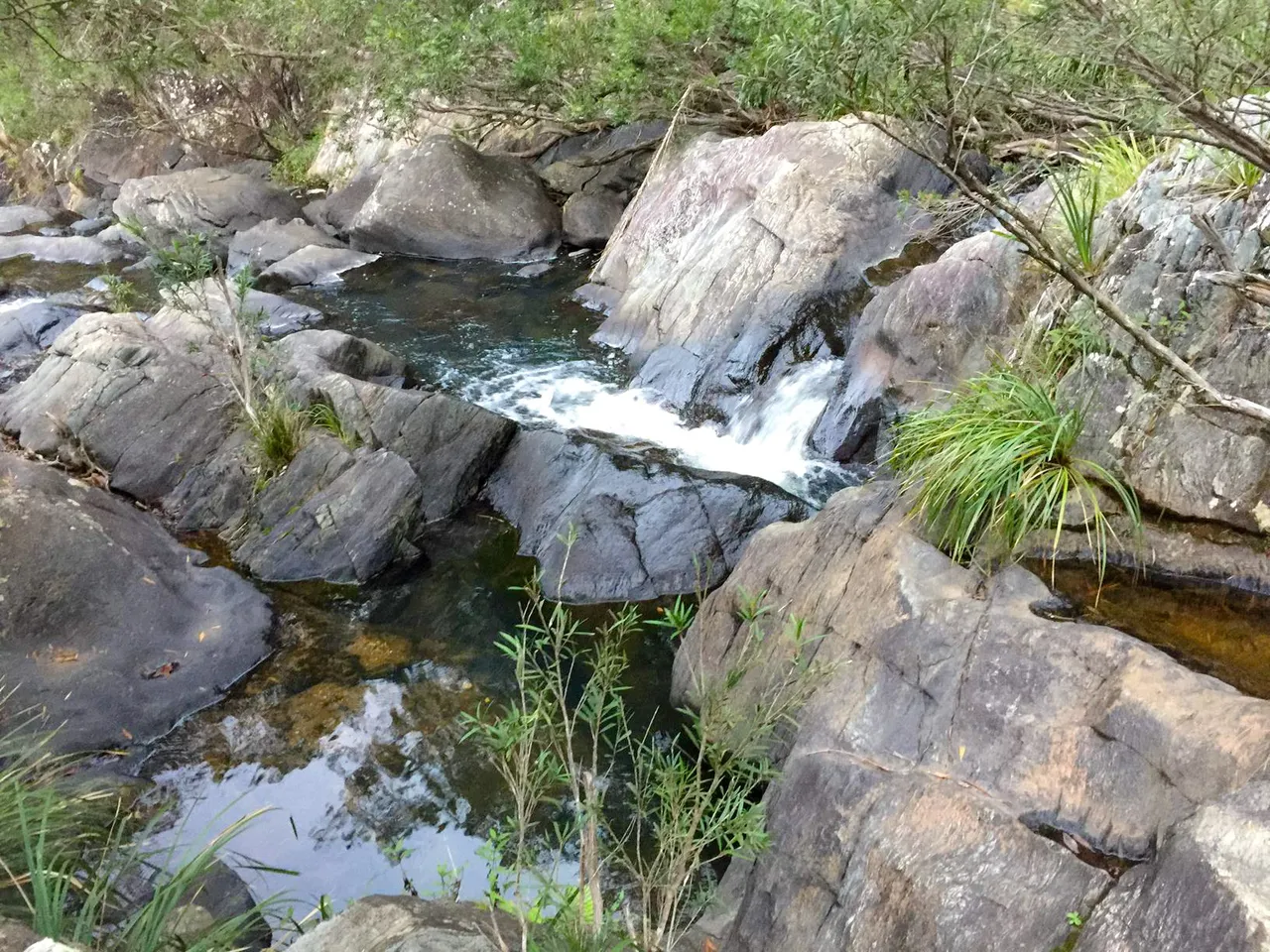
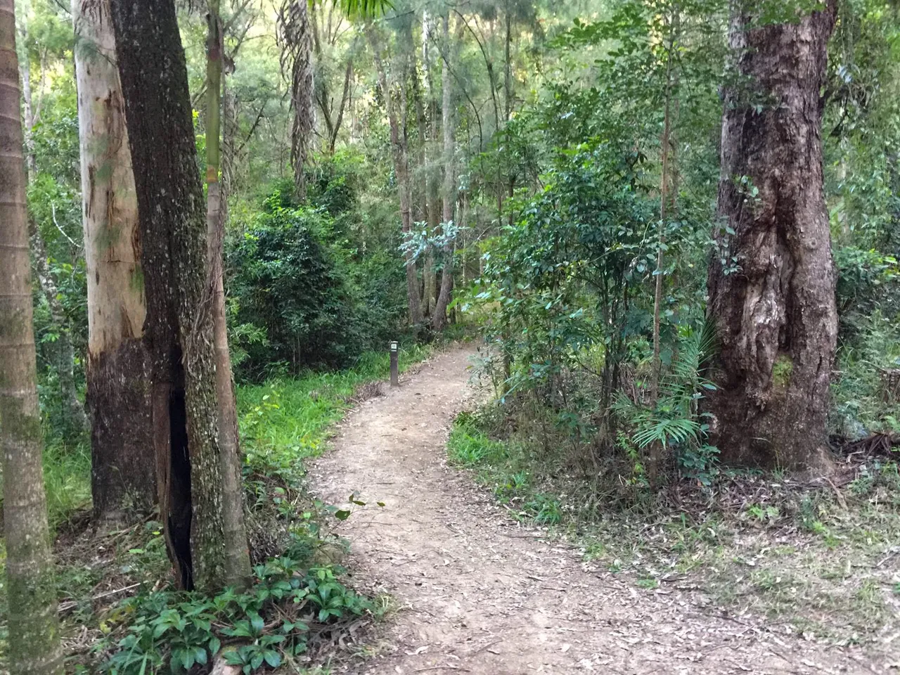
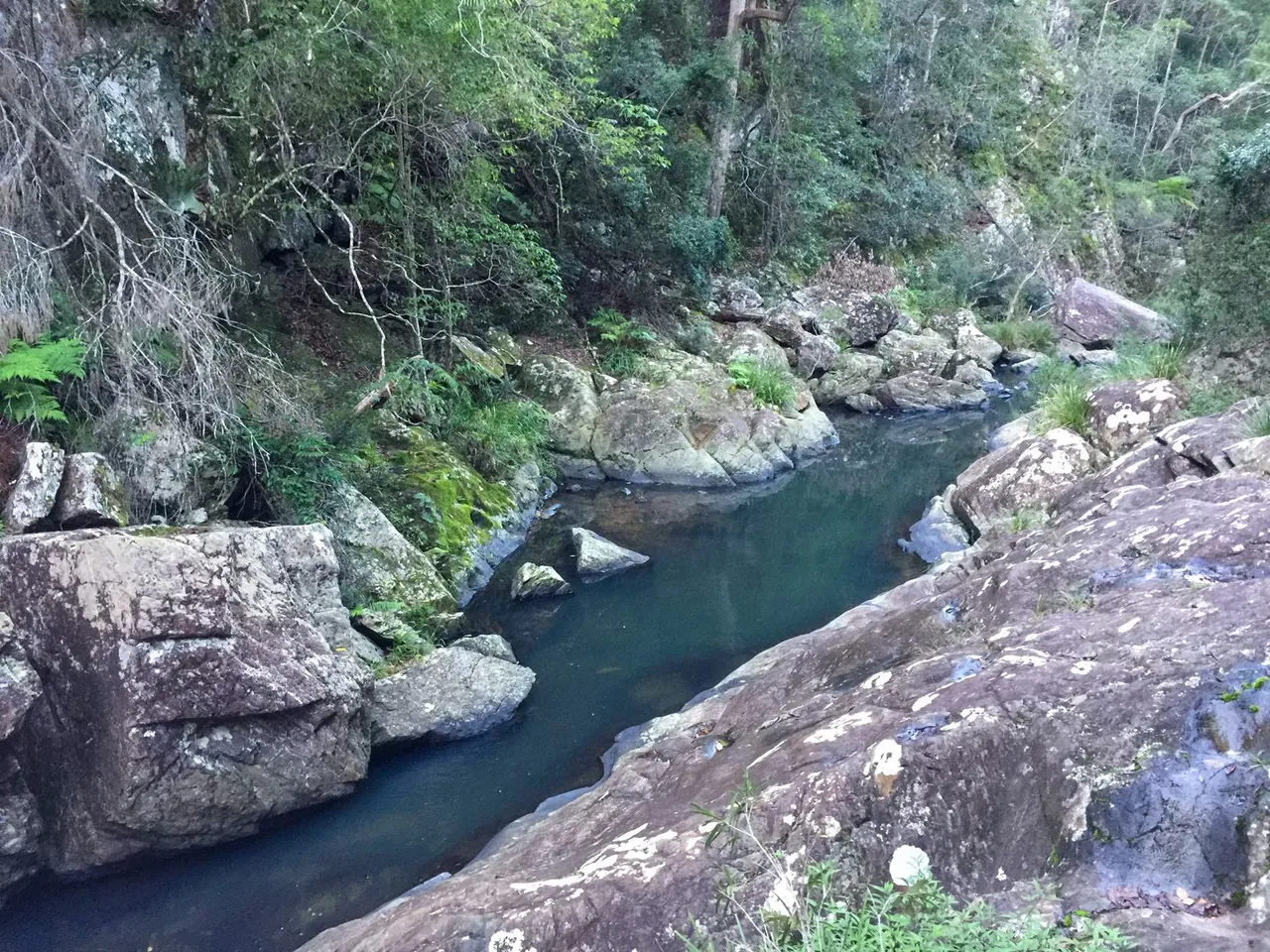
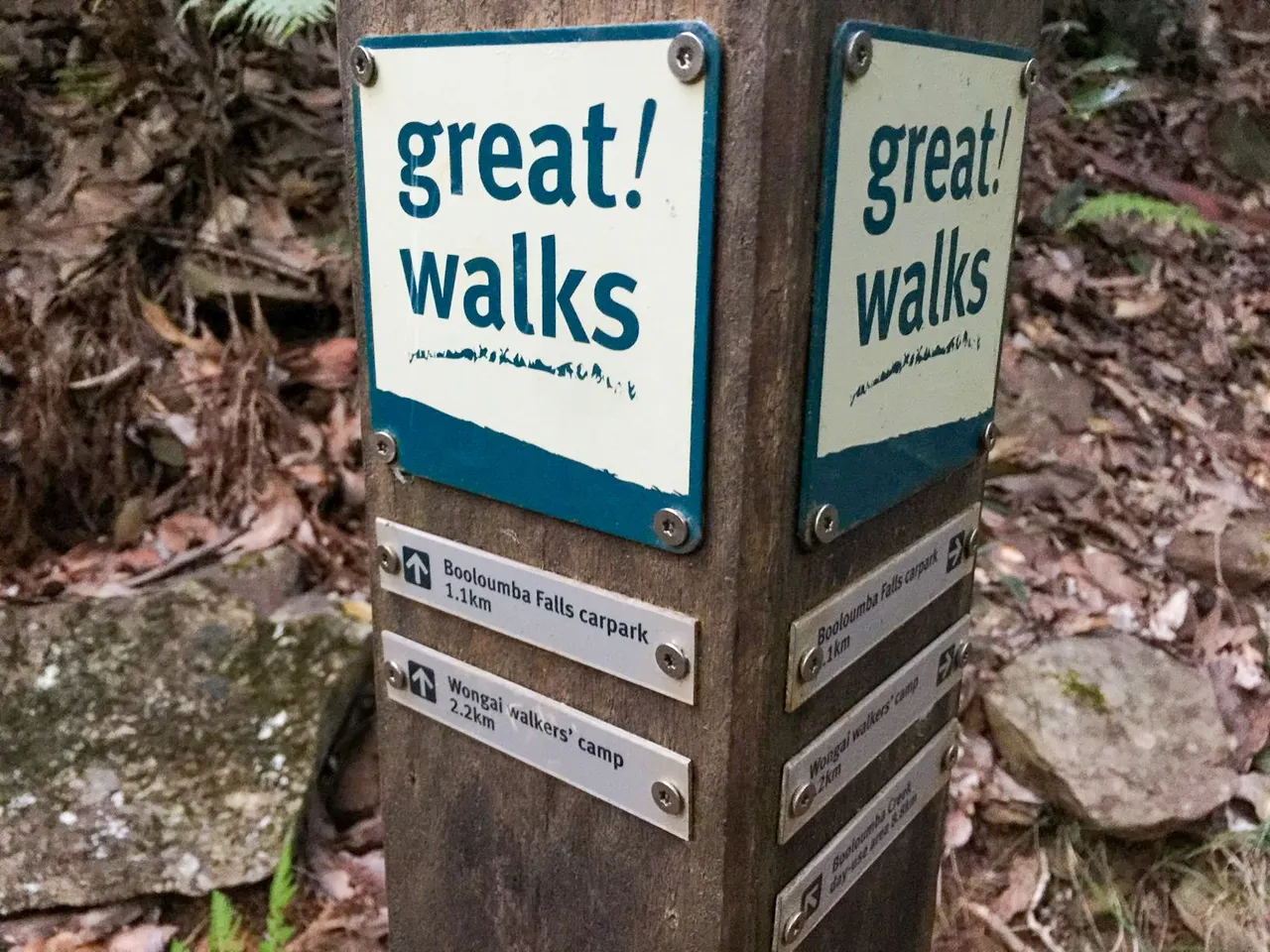
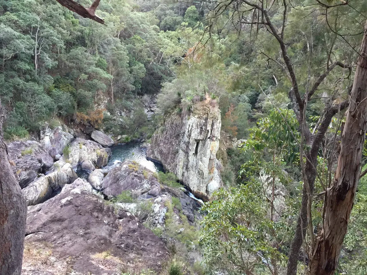
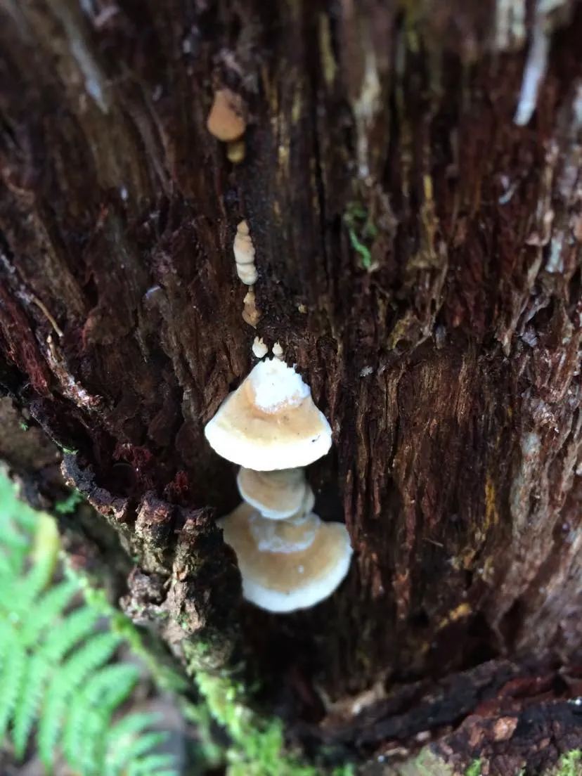
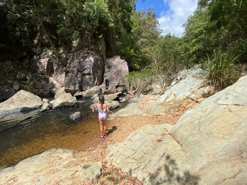
By the time you reach the Booloumba Falls carpark, you’re at 500m above sea level. Take a short but very beautiful downhill walk to the falls, cascading past a rock pinnacle nicknamed the breadknife for its serrated razor formation. It’s probably the most impressive part of the Conondale Range Great Walk, complete with a great lookout, bubbling brook and sublime swimming holes along the way.
And yes, you can walk there and back in one day too, from the Booloumba Creek camping and day use area. It would be about 17km for the round trip.
Afterwards
There are numerous walks to be done in this area including the Strangler Cairn, Mount Allan Summit and the full 56km Conondale Range Great Walk.
After your walk you can head to Mapleton or Kenilworth or even further afield to Imbil, Kandanga or Amamoor.
How to get there
Follow the M1 / Bruce Highway north and take the Kenilworth exit. Follow the signs for Kenilworth, travelling along the Eumundi-Kenilworth Road for about 28km. Go through Kenilworth and continue toward Maleny. The turn-off to Booloumba Creek day-use and camping areas is on your right about 7.5km, just after Little Yabba Creek Park. Follow this road for another 7km and you will get to the Booloumba Creek Day area.
If you have a tough 4WD, it’s possible to drive right up to the Booloumba Falls carpark. The walk on the map starts from here, otherwise start from the Day Use Area.
*NOTE: Queensland Parks advises: All park roads are gravel and at present suitable for high clearance 4WD vehicles ONLY. Booloumba Creek Road includes three creek crossings. Many keen walkers park their cars on the side of the road before the first creek crossing and walk in. For more parks information, maps and park alerts, visit https://parks.qld.gov.au/parks/conondale

For more than 250 walking, running, paddling, cycling, mountain biking and horse-riding trails on the Sunshine Coast, choose your next adventure with Adventure Sunshine Coast.