Stay safe on the roads and dob in a pothole

Sunshine Coast Council crews and contractors have been busy clearing debris and assessing our roads in flood-affected areas to open them to through-traffic and make them safe again.
During the severe weather events our roads held up well, however some areas across the Sunshine Coast have had been significantly impacted, due to the downpours.
Sunshine Coast Council Roads Portfolio Councillor Rick Baberowski said he welcomed the community’s assistance in locating any damaged roads and potholes that had emerged during the recent deluge.
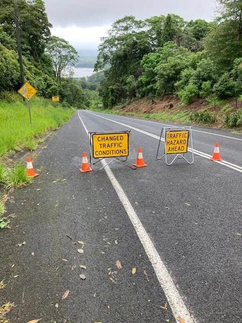
“Landslips and falling trees can occur for weeks to come, so if you are on the roads, please be aware of that risk and always observe and follow any signage,” Cr Baberowski said.
“We always appreciate the community’s efforts in alerting us to any repairs needed, especially on local residential streets.
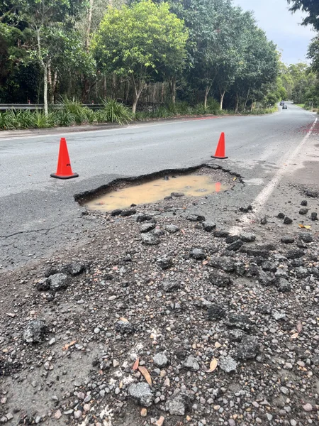
“So don’t hesitate to let us know if there is a pothole near you. The quicker our team knows about the job, the quicker it’s actioned and filled.”
You can lodge an eRequest online or contact council’s Customer Contact Centre on 5475 7272.
Alternatively, email [email protected] or visit council’s website at www.sunshinecoast.qld.gov.au.

Narrows Rd, Montville - 27 Feb 2022
“Council maintains almost 3000km of local roads and bridges throughout the region,” Cr Baberowski said.
“It’s council’s number one priority to keep our roads and users safe, so we have repair crews on the ground every day closely monitoring and maintaining emerging potholes.
“Please be mindful of road workers and hazard signs by slowing down to 40km/h to keep everyone safe.”
Sunshine Coast Council has a free online tool to help both residents and visitors better navigate local roads.
Visit Roads Hub – roads.sunshinecoast.qld.gov.au – an online mapping tool created to minimise road-user frustration and improve road safety by helping users plan ahead and be aware of road works or other events which may impact traffic.
Taking the time to check Roads Hub before starting your journey is quick and easy.
With a few simple clicks you can see road improvement works council is delivering, as well those being carried out by the Queensland Government’s Department of Transport and Main Roads.
Visiting Roads Hub can save you time and ensure you know where you might encounter delays, giving you the option to consider leaving earlier or plan to take an alternative route.
Roads Hub alerts you to road closures, crashes, hazards, flooding, road works, congestion, and special events.
To report a pothole on state-controlled roads, please contact the Department of Transport and Main Roads on 13 19 40. A list of state-controlled roads across our region is available at www.tmr.qld.gov.au.
Roads Hub Fast Facts
• Updates every two minutes, providing reliable, information about road works and road closures
• Accessible on any digital device and all popular internet browsers – Chrome, Internet Explorer, Firefox
• Mobile friendly – Apple, android
• Provides real-time information about road works and road closures
• User-friendly search function for roads, suburbs, dates, works type, works source and impact type
• Search by address or suburb or search on an aerial map and zoom to the relevant section (map view or satellite view)
• Easily recognisable icons to help identify sources of road works or road closures
• Roads Hub includes information about road works delivered for the community by council’s civil asset management branch and the Department of Transport and Main Roads
• Works coordinated by commercial developers and private, non-council contractors and other utility and service providers (such as Unitywater and Energex) do not appear on Roads Hub.
Last edited on:
First published on: