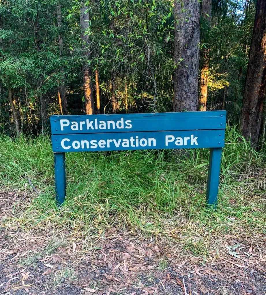
Parklands Conservation Park – Rocky Creek Circuit (5.4km)
Parklands Conservation Park – Rocky Creek Circuit (5.4km)
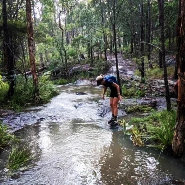
High intensity training circuit through stunning bushland, along flowing creek surrounded by a huge variety of local wildlife.
Suitability
Suitable for walkers, runners and riders of intermediate fitness levels.
Highlights
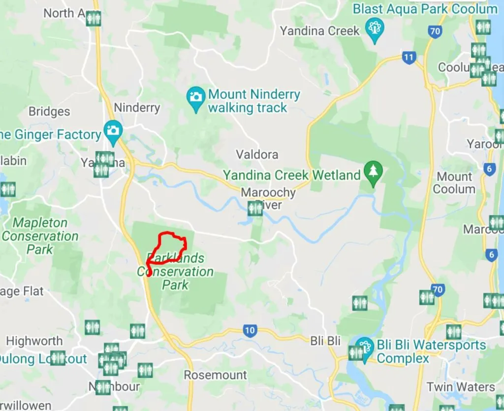
Rocky Creek circuit is a 5.4km track through the Parklands Conservation Park, which provides a valuable wildlife habitat through pen eucalypt forest, rainforest gullies and gorges.
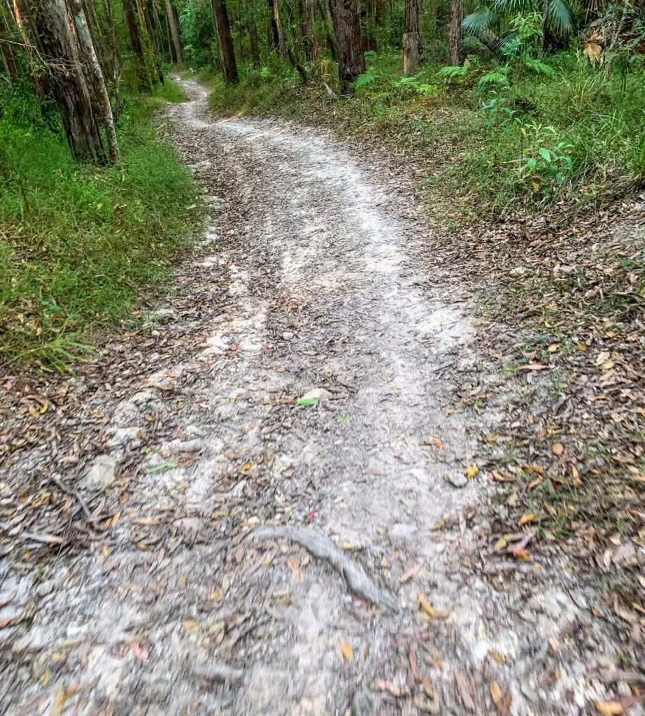
The circuit begins from the base of car park, so be sure to take some time to read the information board and familiarise yourself with the Rocky Creek circuit track! As noted on the board, the circuit is slippery when wet, and has sections with steep grades.
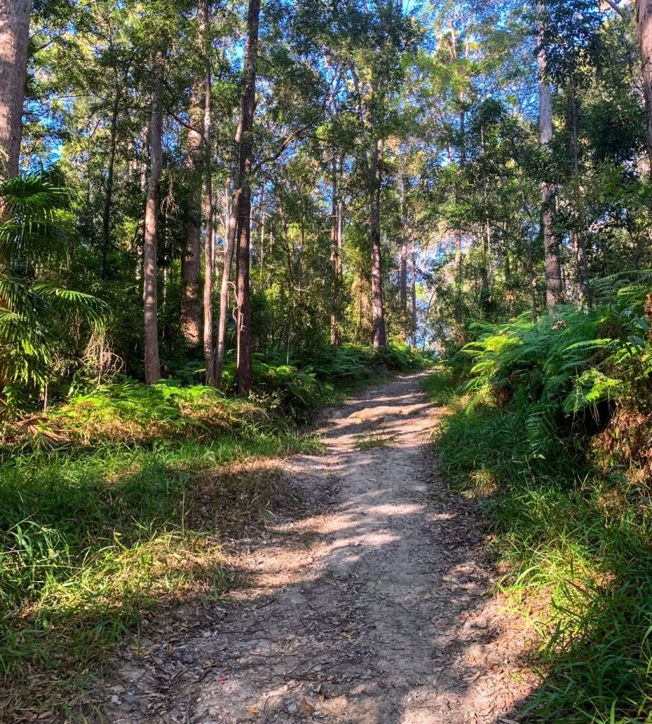
First up is an inclined track to the skills area, which is a purpose-built activity circuit for mountain bikers. As you pass the skills area, continue the journey up hill and follow the directional boards through the Rocky Creek circuit (get ready for the steep sections).
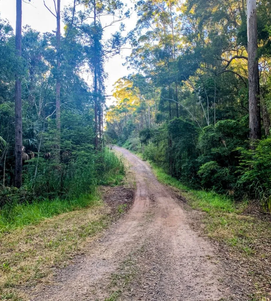
On the higher ridges, the grassy forest floor is characterised with tallowwood, bloodwood and casuarina. While the lower areas are typical of scribbly gum, bracken fern and palm groves
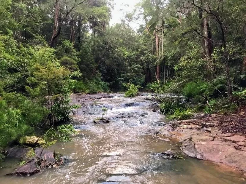
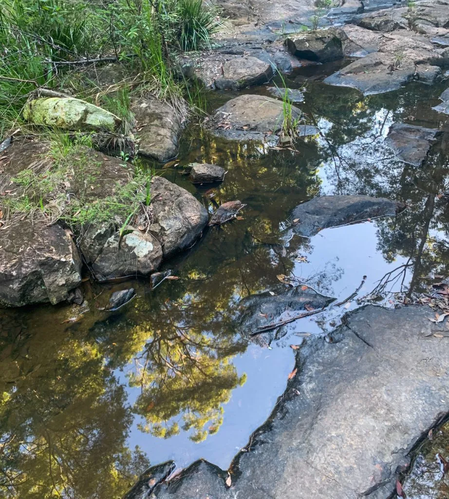
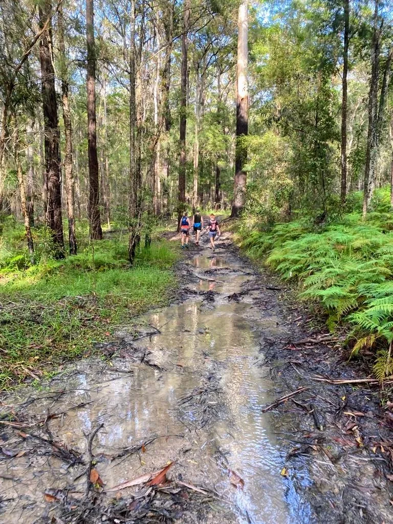
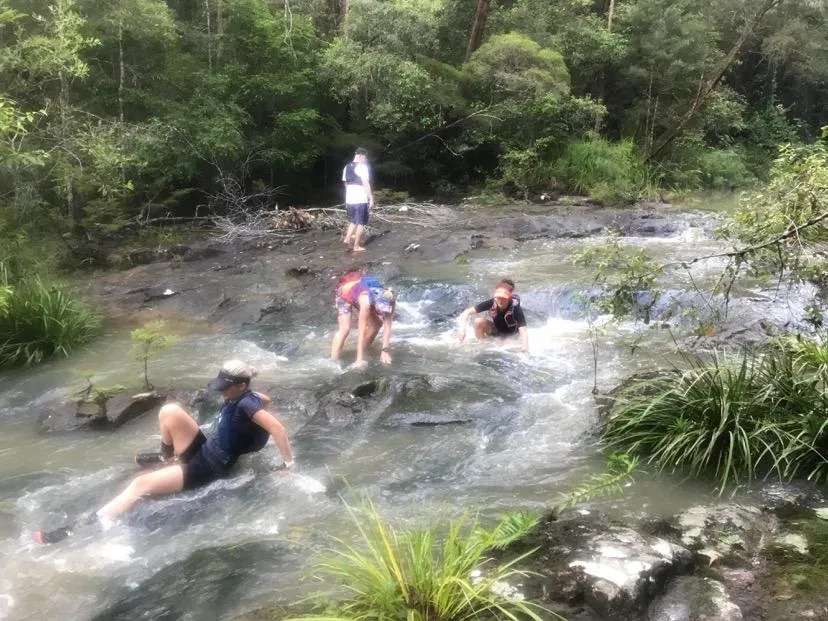
The circuit will take you down to the creek (a nice rest spot), where you cross over a rocky section. Be careful this can be slippery after rainfall. (Some of the photos featured are after heavy rainfall, hence the puddles and higher water level in the creek.)

Afterwards
Walkers, runners, horse riders and mountain-bike riders can explore the park on 15km of shared trails. Alternatively, head into Nambour and grab a coffee or meal from one of the many local establishments. Or head towards Yandina and make a stop at Wappa Dam and Falls!
How to get there
Take Nambour Connection Road/Parkland Exit 210 off the Bruce Highway and turn into Radar Hill Road. There is a car park with ample parking available.
*Note there is no drinking water or amenities at this location.
For more than 250 walking, running, paddling, cycling, mountain-biking and horse-riding trails on the Sunshine Coast #chooseyournextadventure with Adventure Sunshine Coast https://adventure.sunshinecoast.qld.gov.au/
NB – For those who have a four-legged friend they wish to take on their adventures – be sure to check out council’s handy interactive off leash dog map to help identify the current dog off-leash, on-leash and prohibited areas when you’re out and about across the Sunshine Coast local government region https://pets.sunshinecoast.qld.gov.au/[](https://fal.cn/3wjV5?fbclid=IwAR11xlCfnbpi9GC3AkXP8ogCtVKTQN-venNrHF9u1A2tJg7fVs1pE1NukSE)

Last edited on:
First published on: