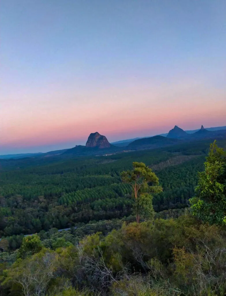
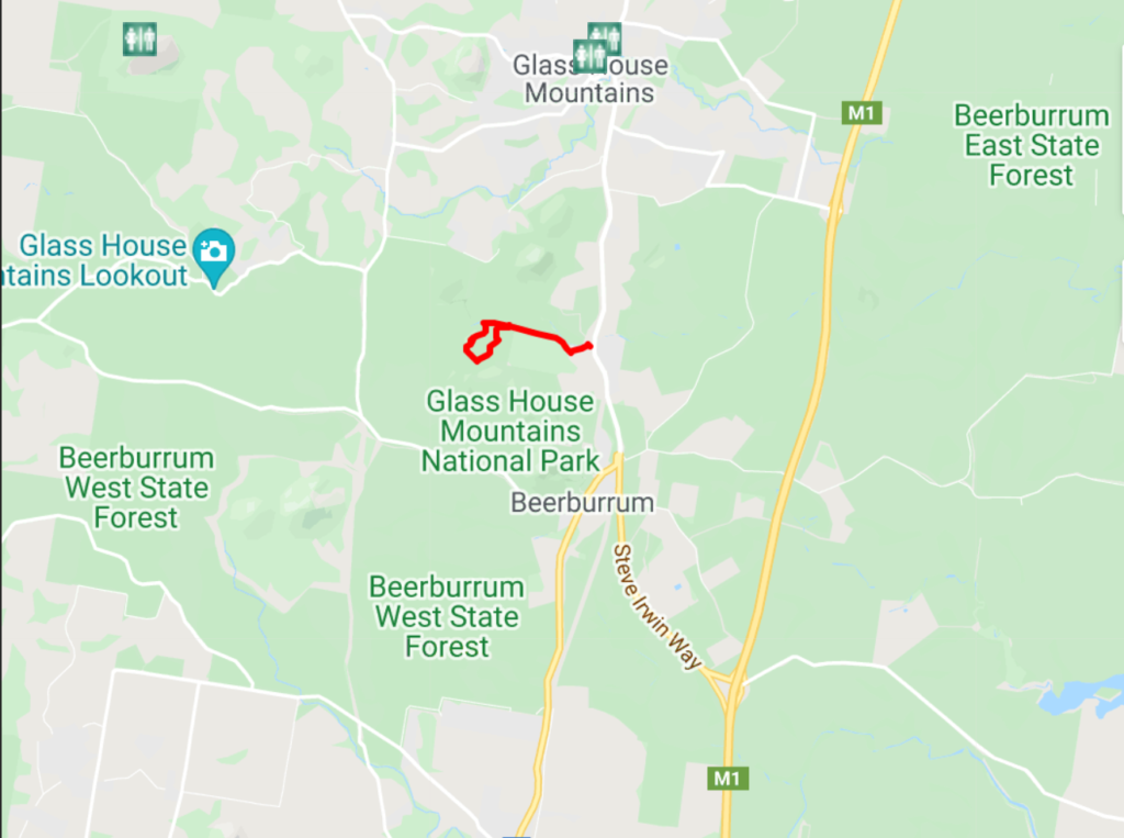
ADVENTURE TIME: Glass House Mountains National Park – Matthew Flinders Park to Jack Ferris Lookout (4.4km)
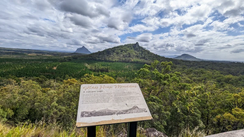
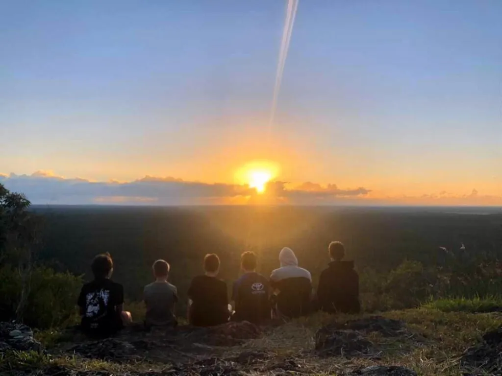
A wonderful way to experience a truly breathtaking view of Tibrogargan and other mountains, without the crowds.
Suitability
Suitable for most walkers, trail runners and mountain bikers.
Highlights
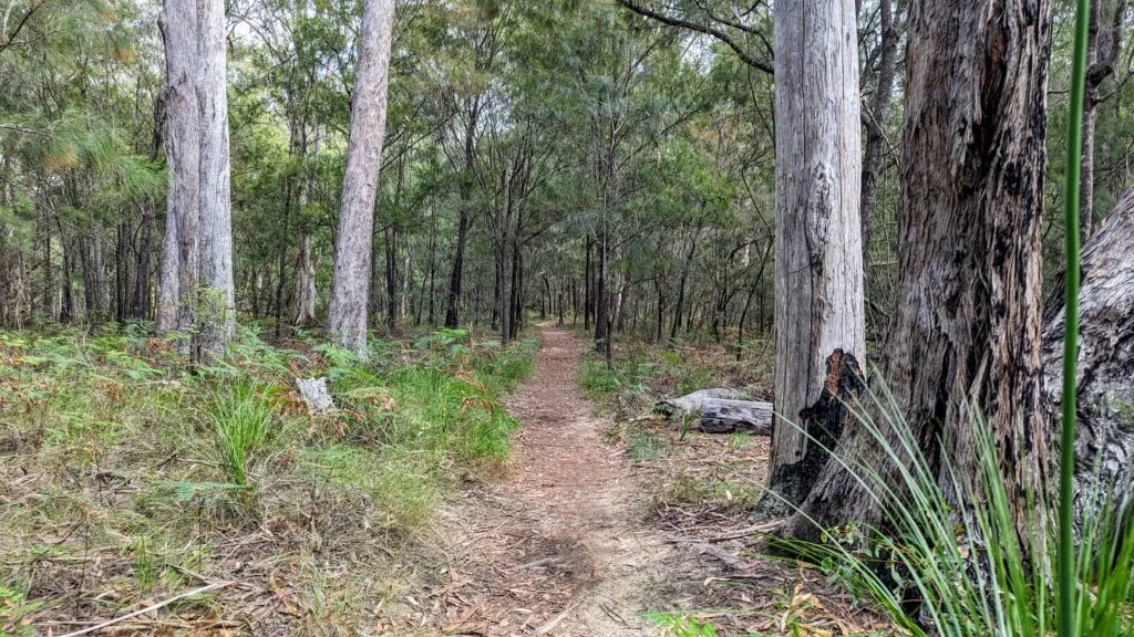
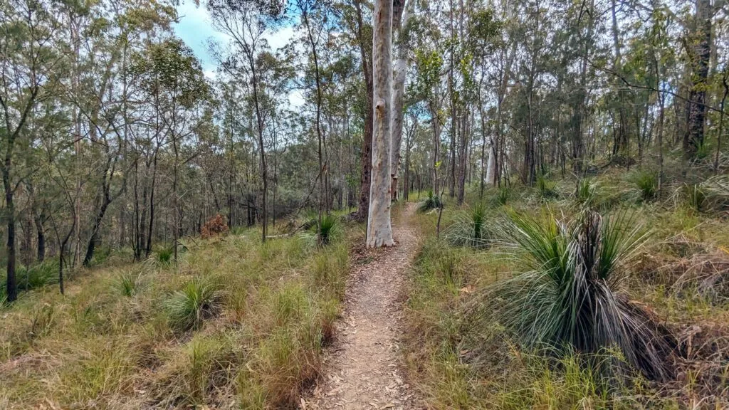
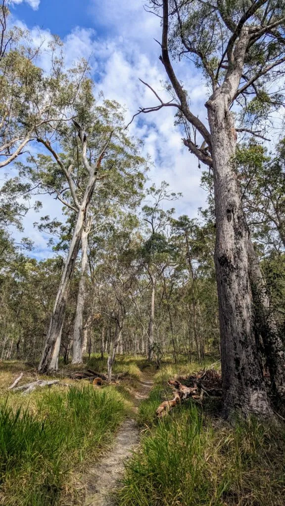
This 4.4km trail from Matthew Flinders Park to Jack Ferris Lookout is a varied, mostly level trail that puts you right in the midst of the Glass House Mountains.
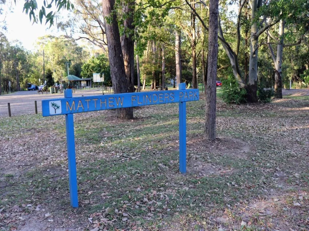
It starts at Matthew Flinders Park, where it can be easier to park on weekends.
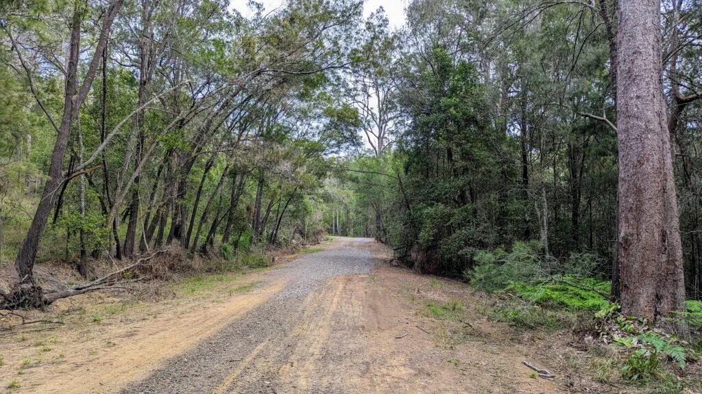
Head west under the rail bridge and along the quiet Caves Road with macadamia orchards on your left and tall gums and other trees on your right. Along this section of the road – at the right time of day – you can encounter large flocks of black cockatoos.
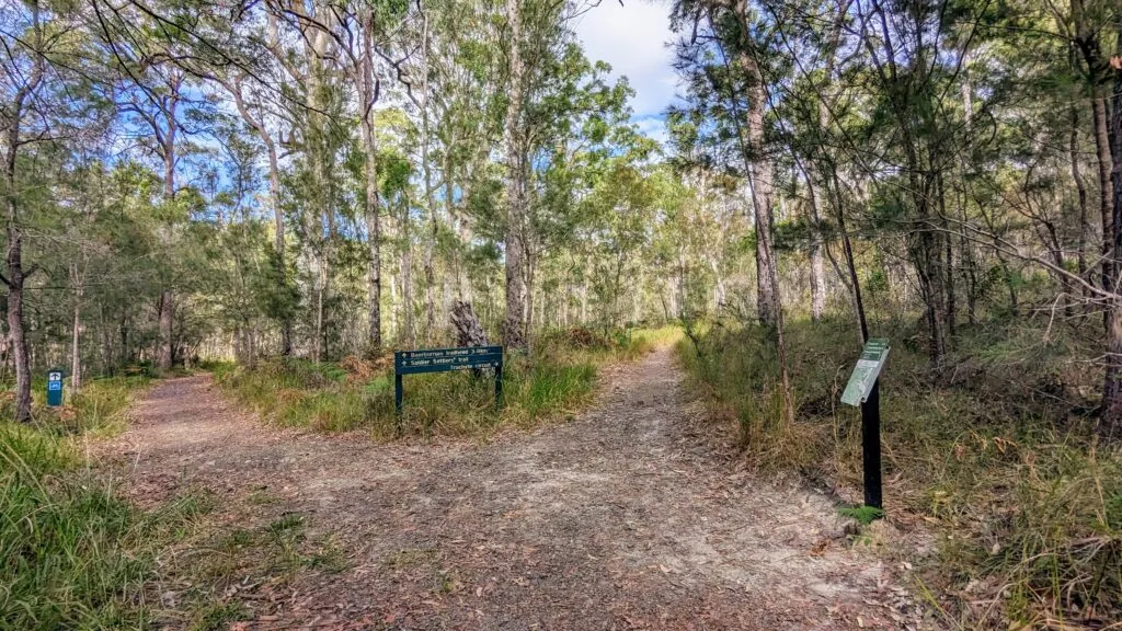
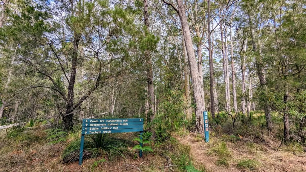
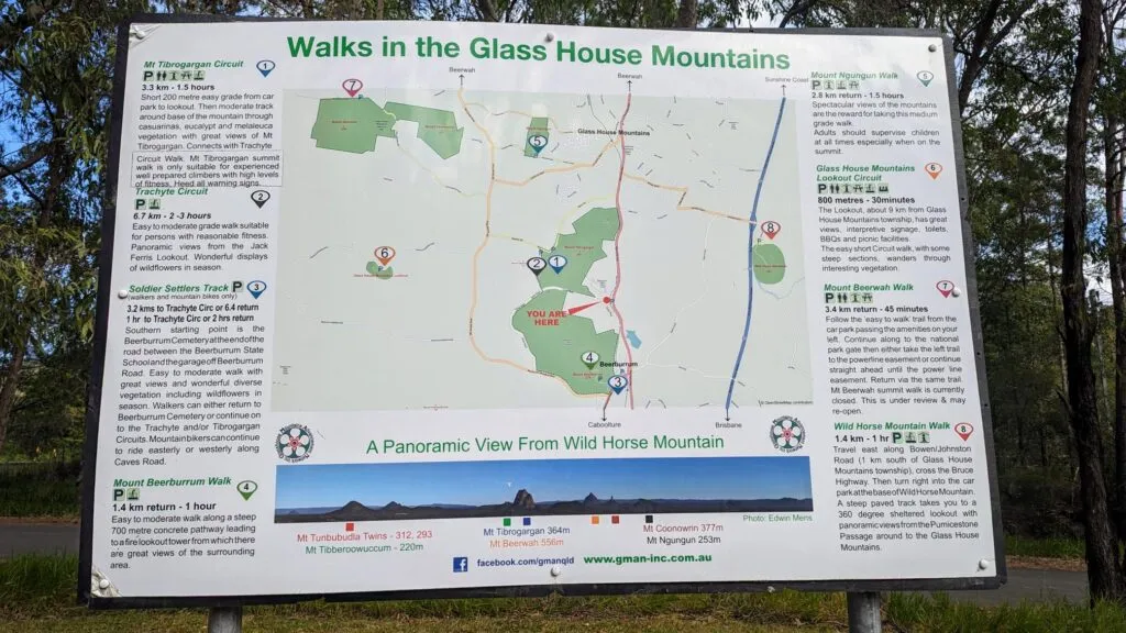
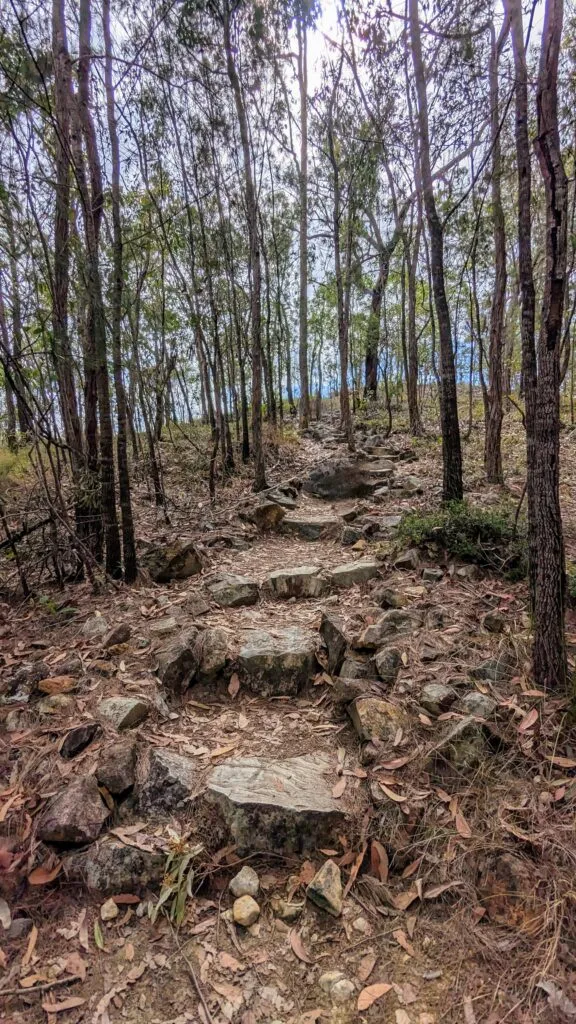
Caves Road will become Caves fire management trail. Turn left onto the Trachyte Circuit when they connect. The 100m stretch to the Jack Ferris Lookout on Trachyte Ridge is located along this gorgeous circuit.
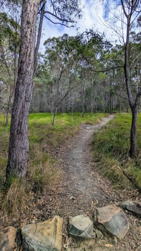
Turn right back onto Caves fire management trail at the end of loop.
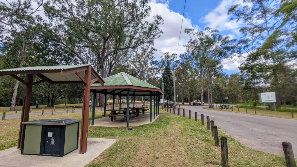
Back at Matthew Flinders Park there are some interesting information boards to round out this experience, including a cairn that commemorates the site nearby where Matthew Flinders camped in July 1799. There are also toilets, sheltered picnic tables and water here.
Afterwards
To continue a connection with Matthew Flinders, why not climb Mount Beerburrum, which Flinders summitted in 1799. The climb, accessible from Beerburrum (just south of Matthew Flinders Park) is the quickest way to get some heights and 360 degree views of the area.
How to get there
Matthew Flinders Park is located just off Steve Irwin Way, approximately 2.5 km north of Beerburrum and 6 km south of the township of Glass House Mountains.
Trail
For more than 250 walking, running, paddling, cycling, mountain-biking and horse-riding trails on the Sunshine Coast #chooseyournextadventure with Adventure Sunshine Coast https://adventure.sunshinecoast.qld.gov.au/
NB – For those who have a four-legged friend they wish to take on their adventures – be sure to check out council’s handy interactive off leash dog map to help identify the current dog off-leash, on-leash and prohibited areas when you’re out and about across the Sunshine Coast local government region https://pets.sunshinecoast.qld.gov.au/